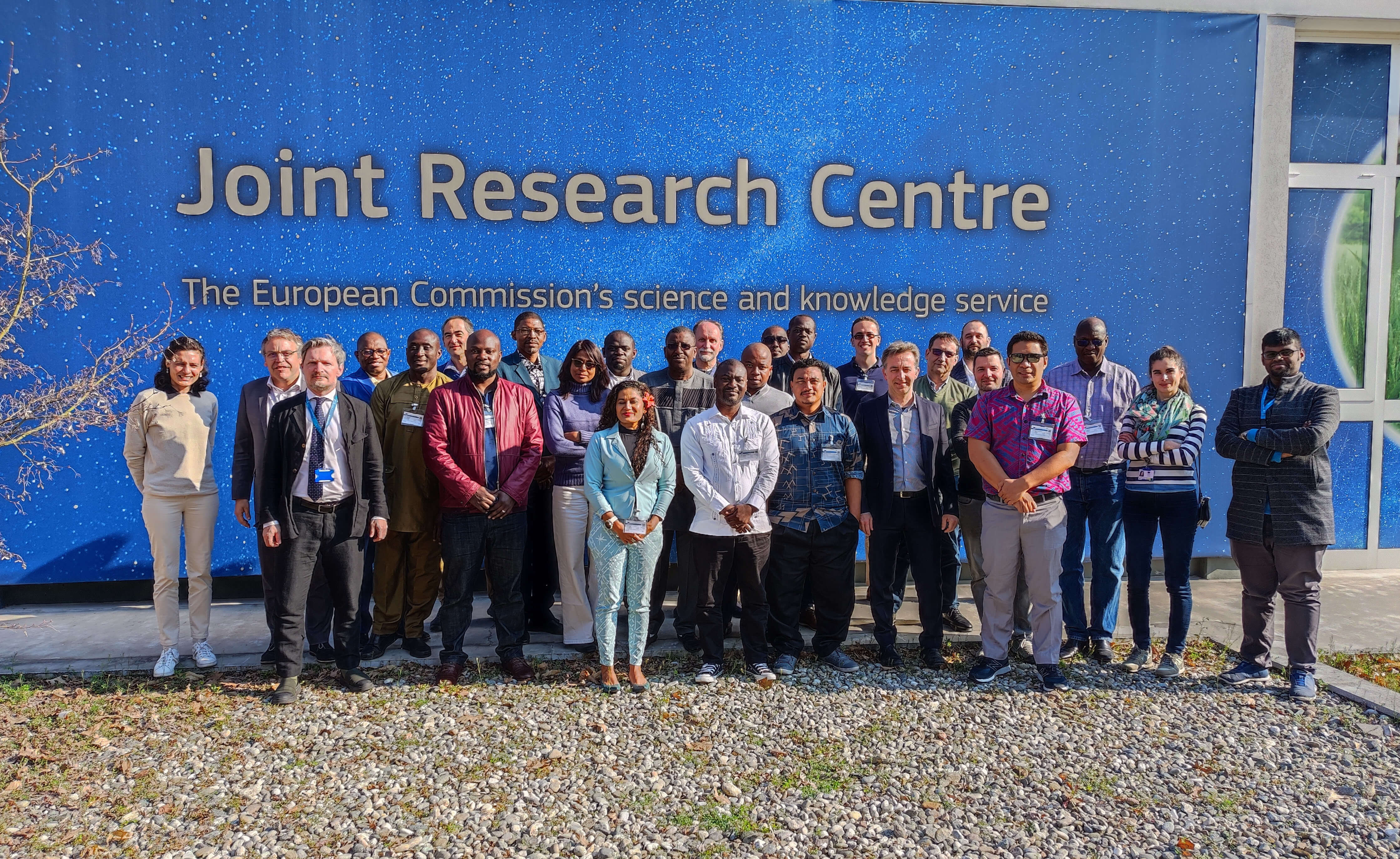
From the 20th to the 31st of March, thematic experts and IT specialists from OACPS Regional Climate Centres (RCCs) gathered in Ispra, Italy, for the ClimSA Station workshop organised by the EU Joint Research Centre (JRC).
The ClimSA Station is a platform for retrieving, processing and visualizing climate datasets for the implementation of climate services, which are designed to provide decision-makers with the information they need to adapt to the impacts of climate change, manage risks associated with extreme weather events, and make long-term plans that take climate change into account. Climate services can be used by a wide range of stakeholders, including governments, businesses, communities, and individuals.
The OACPS RCCs present for the workshop included the Caribbean Institute of Meteorology and Hydrology (CIMH), with two delegates; the African Centre of Meteorological Applications for Development (ACMAD) with two delegates; the Southern African Development Community - Climate Service Center (SADC-CSC) with three delegates; the IGAD Climate Prediction and Application Centre from Eastern Africa (ICPAC) with two delegates; the Climate Application and Prediction Centre of Central Africa (CAPC-AC) with one delegate; the Regional Climate Centre for Agriculture, Hydrology and Meteorology for West Africa and the Sahel (AGRHYMET) with five delegates. the Secretariat of Pacific Regional Environment Programme (SPREP) with three delegates.
The workshop came at the right time, when the centers are striving to design innovative means to face the main challenges for the region which are the climatic variabilities that impact socio-economic activities. For example, the beginnings of the seasons are very erratic and variable as also for the occurrence of floodings and any other extreme events in the region.
With this workshop, the participants learned how to master the ClimSA Station’s tools, and therefore have access to data and produce their own technical services. One of the workshop's highlights has been the exchange between colleagues on using the Jupiter Notebook, an open-source tool for data management, and the interaction of data to observe climate impacts.
Participants emphasised that they have an extensive experience in this field because some have been part of the development of all the platforms that preceded ClimSA Station such as PUMA, AMESD, MESA, GMES and Africa and SAWIDRA. There is therefore continuity in these activities for what has been developed and deployed in the numerous countries across the regions, including the training of national experts. Some countries continue to have more difficulties, but with dedicated support they were able to troubleshoot it and make climate services functional.
The OACPS Technical Assistance Team participated in the workshop's second week and contributed to the formulation of the recommendations to make ClimSA become the one-stop RCC CSIS working environment. Each region has its own specificities to be dealt with, and the ClimSA station is appropriate to develop specific products tailored to each region. For instance, there are also other tools such as Climsoft used by Agrhrymet, an open-source Climate Data Management System, that is installed in all 17 countries of the Sahel, and it would be positive to be able to integrate it into the ClimSA Station. JRC colleagues assured to the participants that more effort is made to integrate as much as possible any relevant dataset with the ClimSA station.

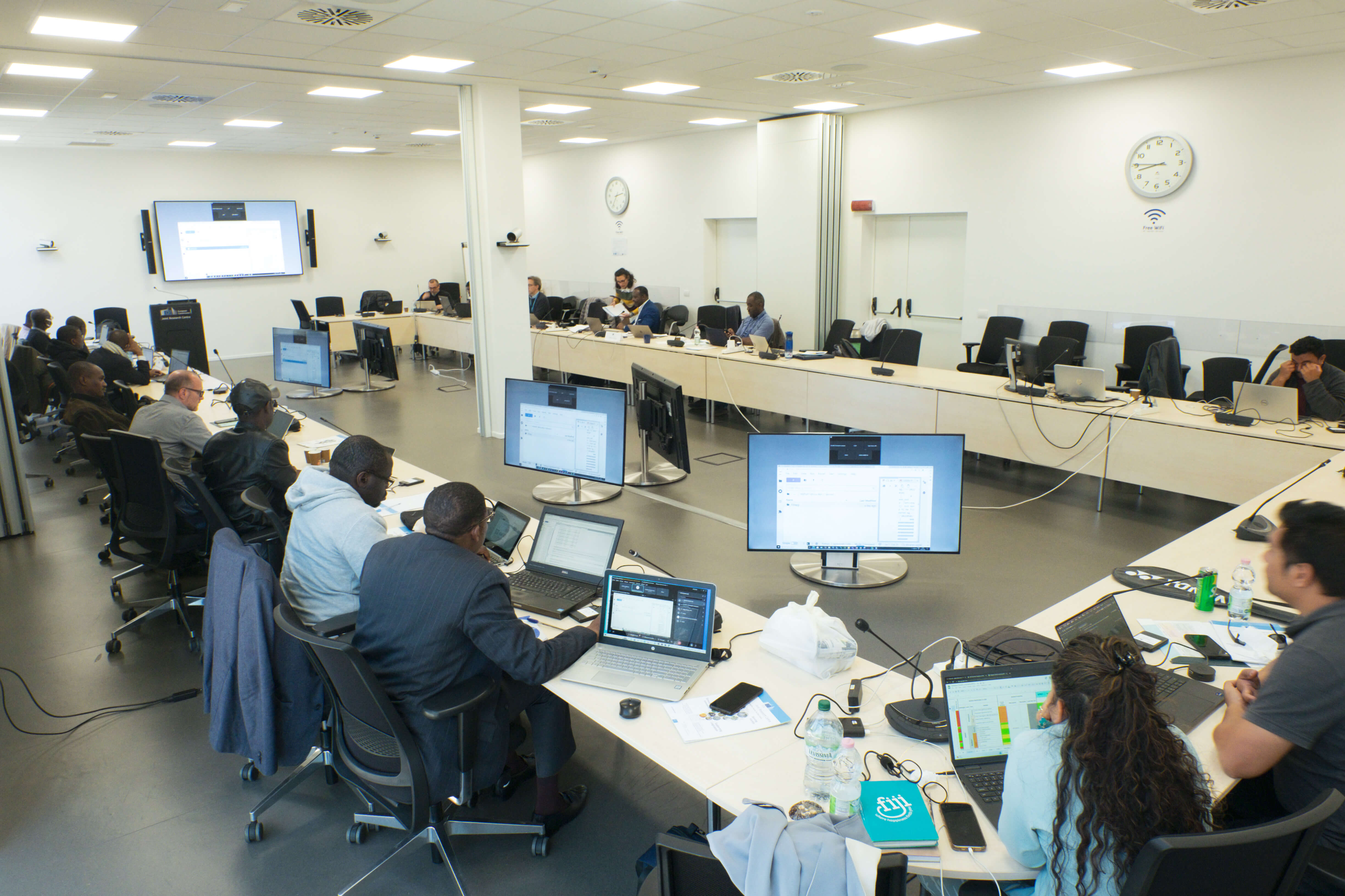
During the first week of the workshop, participants reviewed the functioning of the ClimSA Station. This encompassed the topics of the initial configuration of the Portfolio, the Data Acquisition, Ingestion and Processing, which are executed by services configured and controlled through the ClimSA station user interface. The analytical features of the platform includes maps and temporal series visualization, products intercomparison and the integrated IMPACT toolbox for remote sensing, photo interpretation and processing technologies in a GIS environment. These tools allow non-specialist users to easily accomplish all necessary pre-processing steps while giving a fast and user-friendly environment for visual editing and map validation.
A core part of the training focused on the Jupyter Notebook, a working environment of Python (ipykernel notebook) where any user can code their processes to create the indicators from the existing data and visualize them.
The RCCs thematic experts expressed their needs in terms of dataset requirement and availability. More than ten categories of the dataset were identified amongst the centres. The ClimSA station is a depository coming from different sources and allows the users to connect to the location of the original dataset or import them to the platform. In this respect, two constraints were raised, namely the internet connection and workstation space, which require for the RCCs the acquisition of dedicated infrastructure to host the system and good connectivity. For the sake of the workshop, JRC provided an external disk with data for the exercises, but once back home, all the RCCs need to run the tool on their own servers.
JRC colleagues organised bilateral meetings with different JRC teams working on several products and tools relevant for the ClimSA Program, in the field of Agriculture and Food Security, Water Resources Management, Forest Monitoring, Fisheries, DRR and biodiversity. In particular, the Global Flood Awareness System (GloFAS) was presented, which is jointly developed by the European Commission JRC and the European Centre for Medium-Range Weather Forecasts (ECMWF) as part of the Copernicus Emergency Management Service (Copernicus EMS). GloFAS provides added value, and complementary flood forecast information which is updated daily. Forecast information includes gridded hydro-meteorological data such as accumulated forecasted precipitation, probabilistic predicted discharge, threshold exceedances and forecasted hydrographs at gauging locations.
The mission was useful to get the insight and the functionality of the tool, and then advise where deemed necessary for its improvement. So far, each centre has its own working stations, which for some are not yet peer-reviewed for validation and shifting to operational support system. Our expectation would be to see the maturity of ClimSA Station to replace from the existing unintegrated system to a consolidated and integrated automatic climate services information system (CSIS) for the mandatory mission of a RCC. Therefore, it is advised to all the RCCs to make use of the tool and give the feedback on its usefulness for becoming one stop dedicated CSIS in RCCs working environment.
According to Mr Oumarou, climate expert from AGRHYMET, the ClimSA Station is the most user-friendly tool and has the most information, but some technical challenges still remain. For example, one limitation they have been discussing is that the ClimSA Station requires a reliable and powerful internet connectivity, and in the region, many national institutions have difficulties with internet connectivity. Solutions can be found but require further collaboration, such as using the EUMETCast, a method of disseminating various meteorological data managed by the European Organisation for the Exploitation of Meteorological Satellites (EUMETSAT).
One key recommendation, therefore, is for RCCs to raise funding or reallocate the budget line for the infrastructure of digital support to make the tool more effective and efficient. Another key recommendation is to align the ClimSA station with the WMO objective forecast framework to facilitate the use by RCCs for their mandatory tasks leading to the designation as WMO RCC. This will also require the provision of e-learning platform for continuing the capacity building of RCCs experts at their own convenience.
Latest news